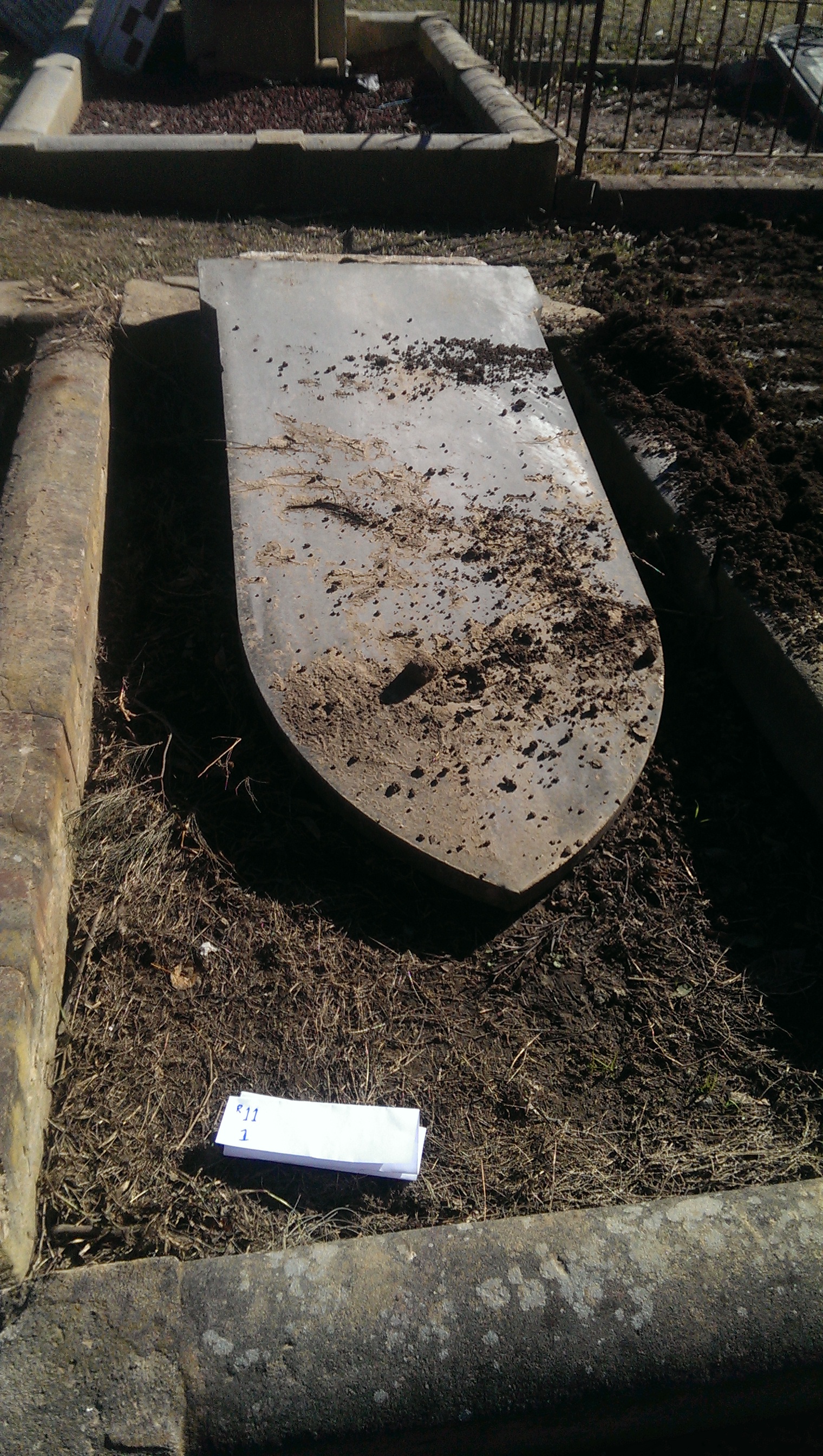
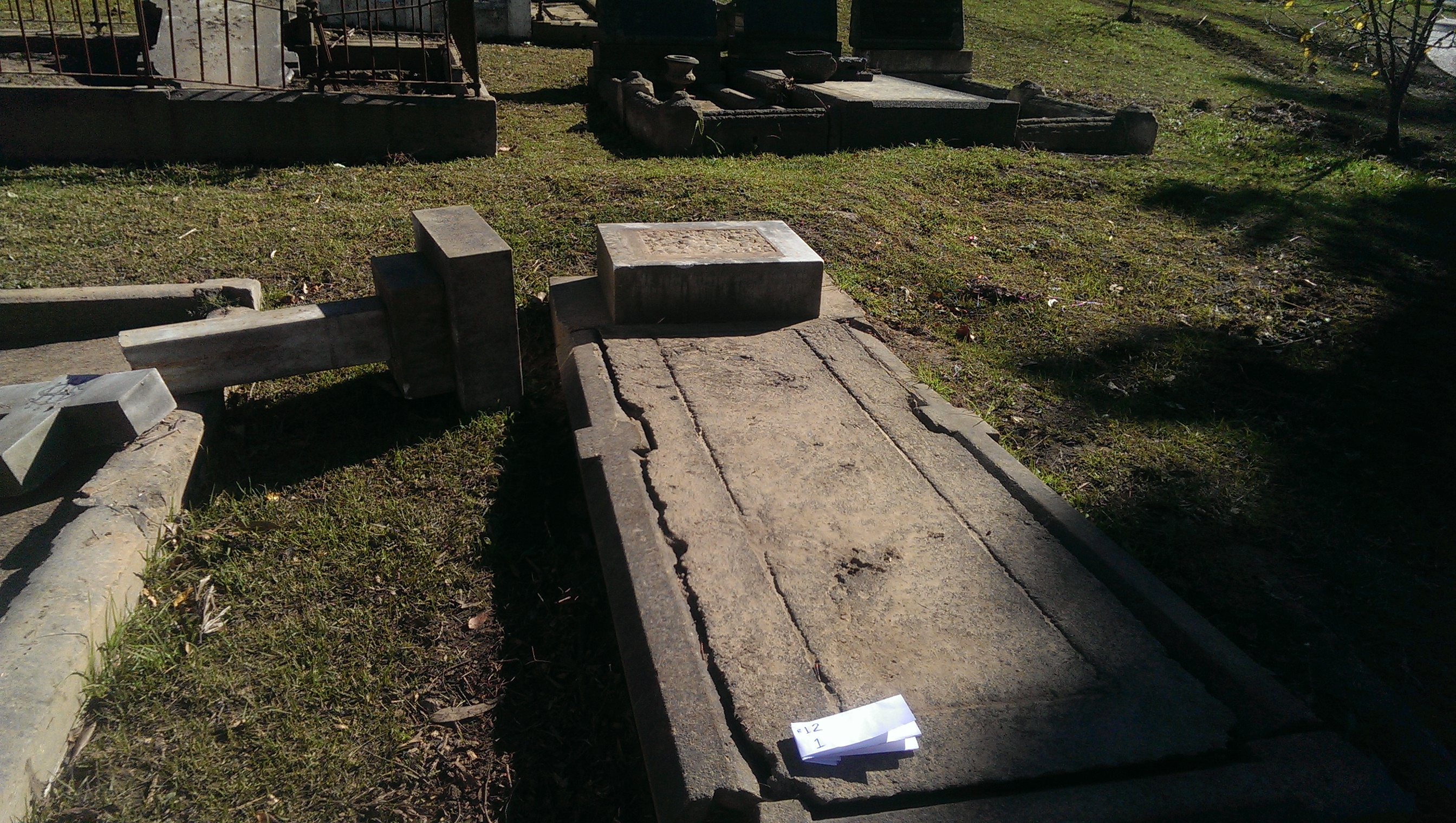
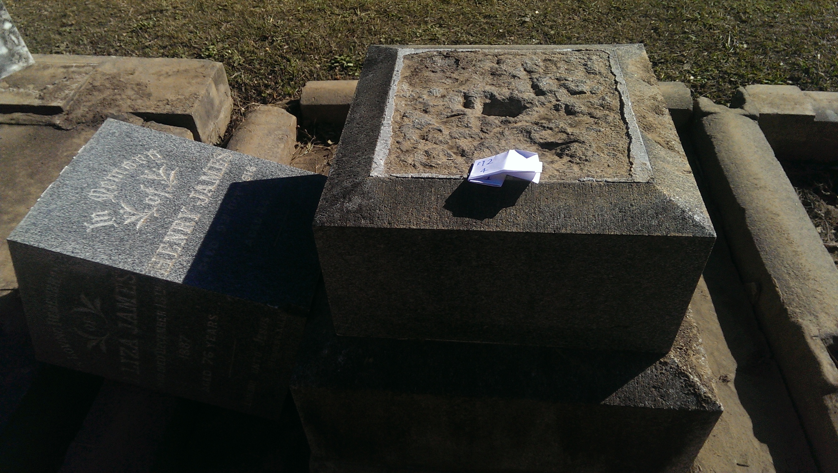
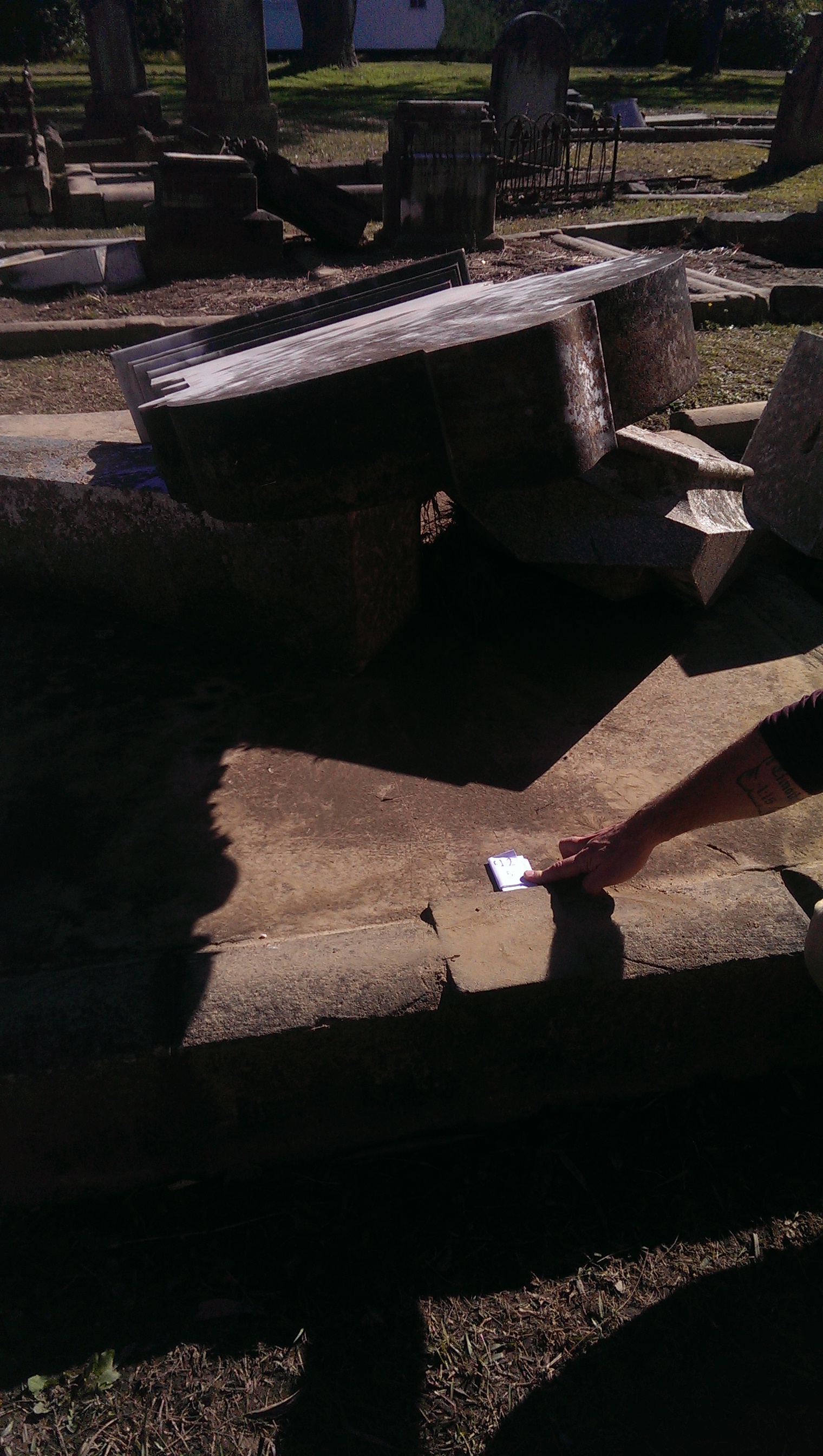
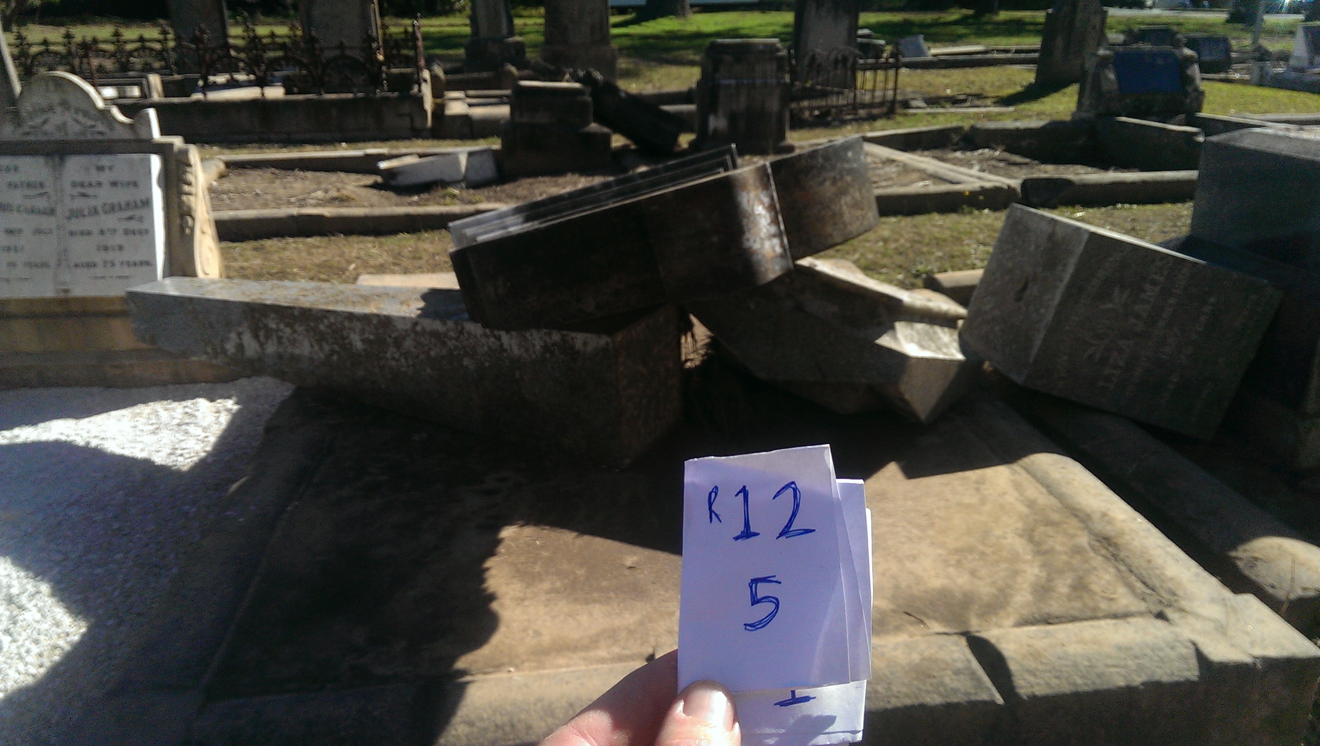
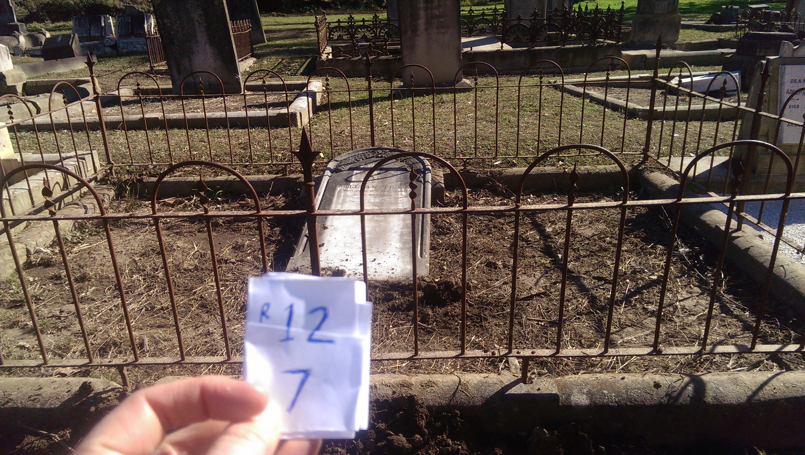
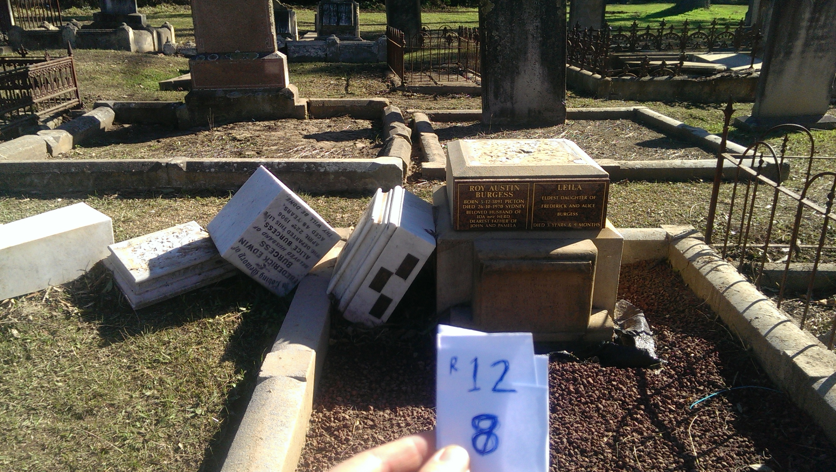
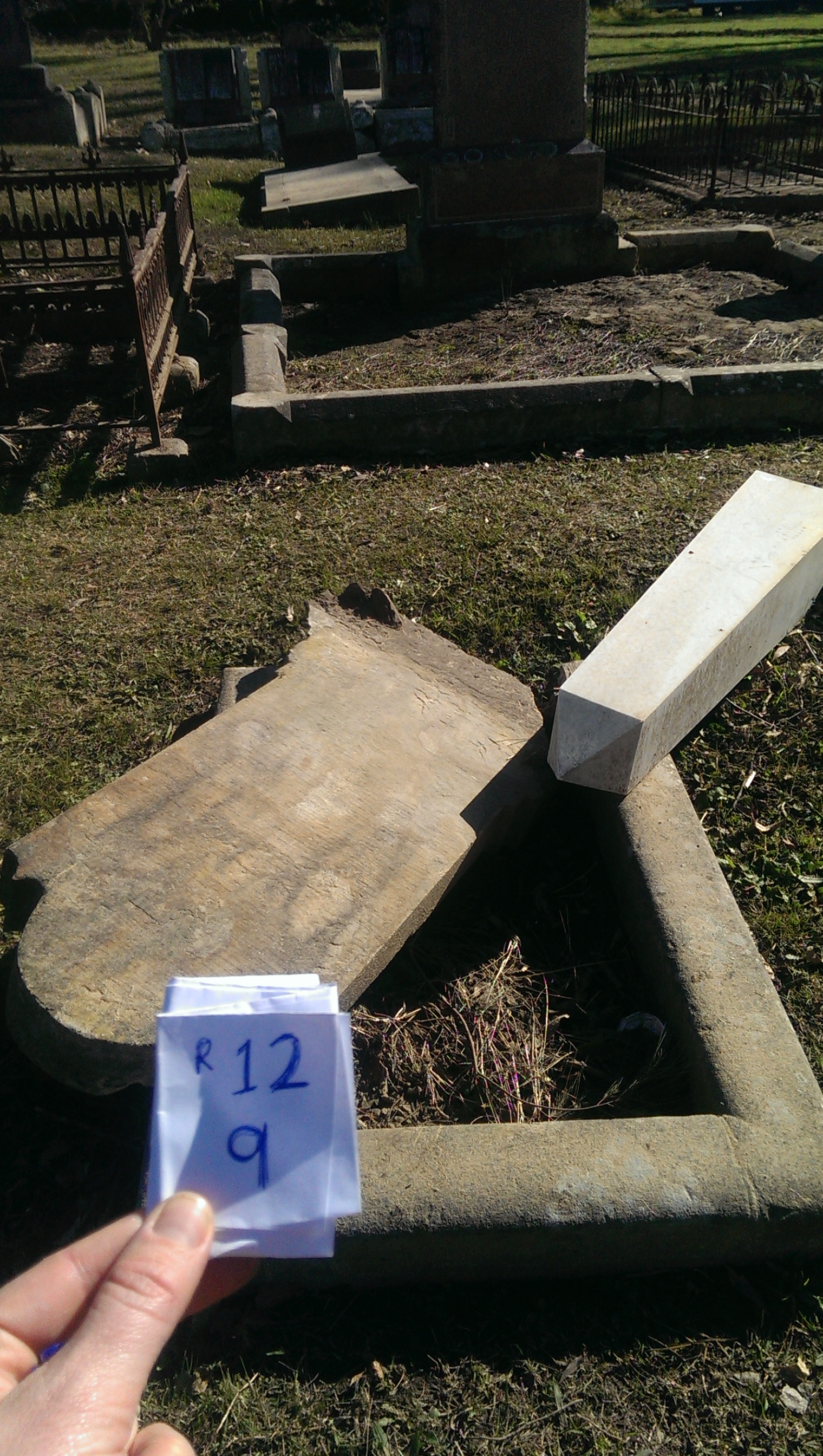
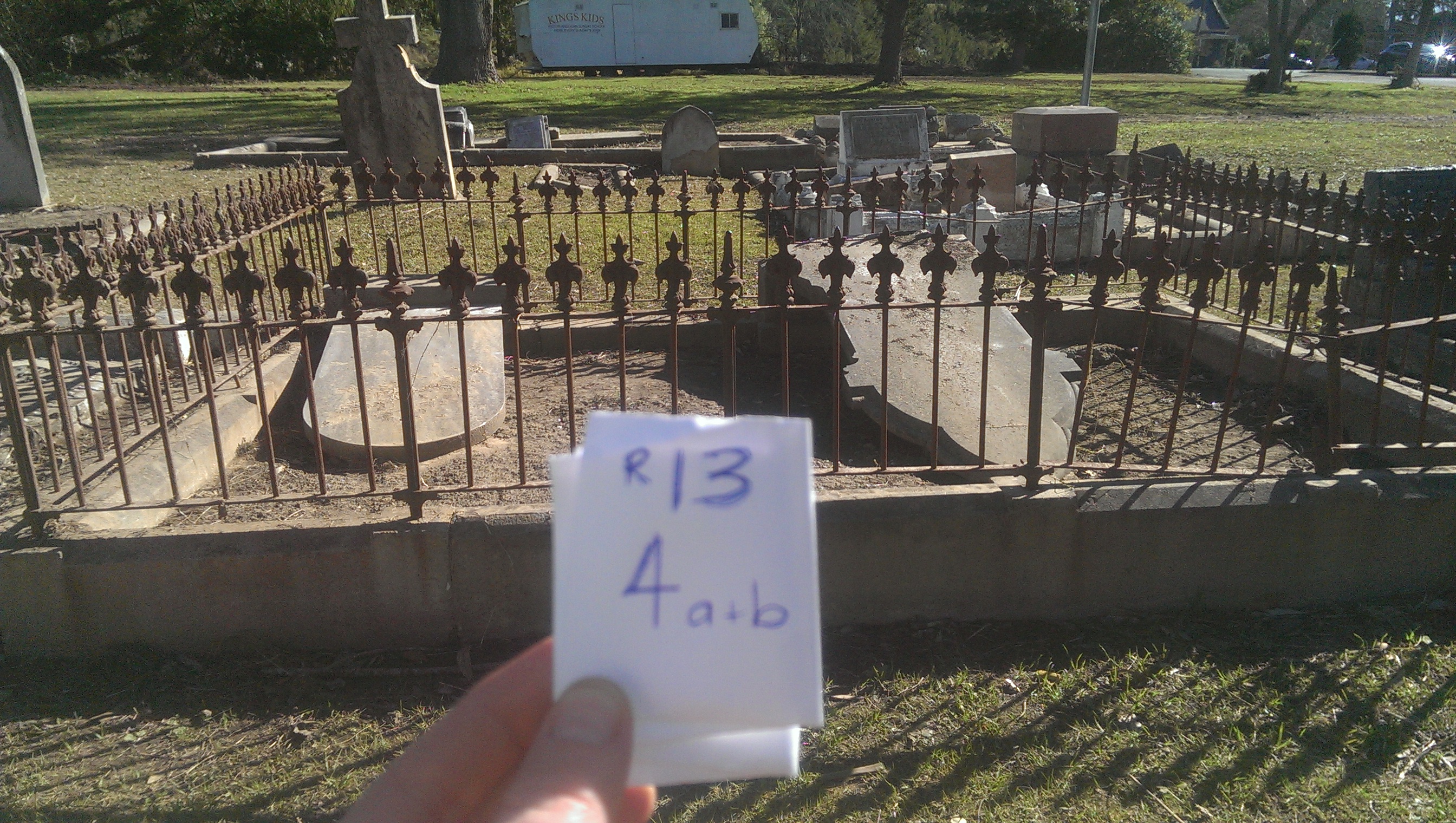
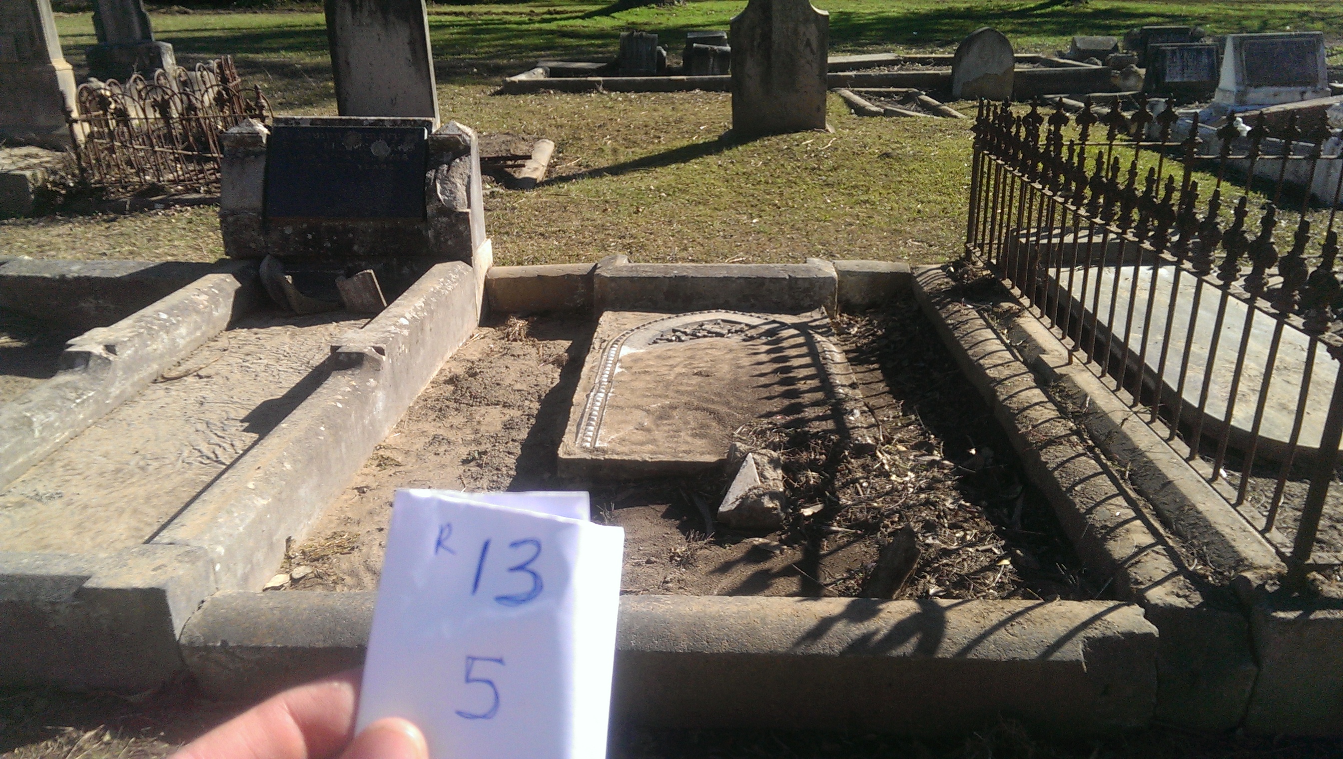
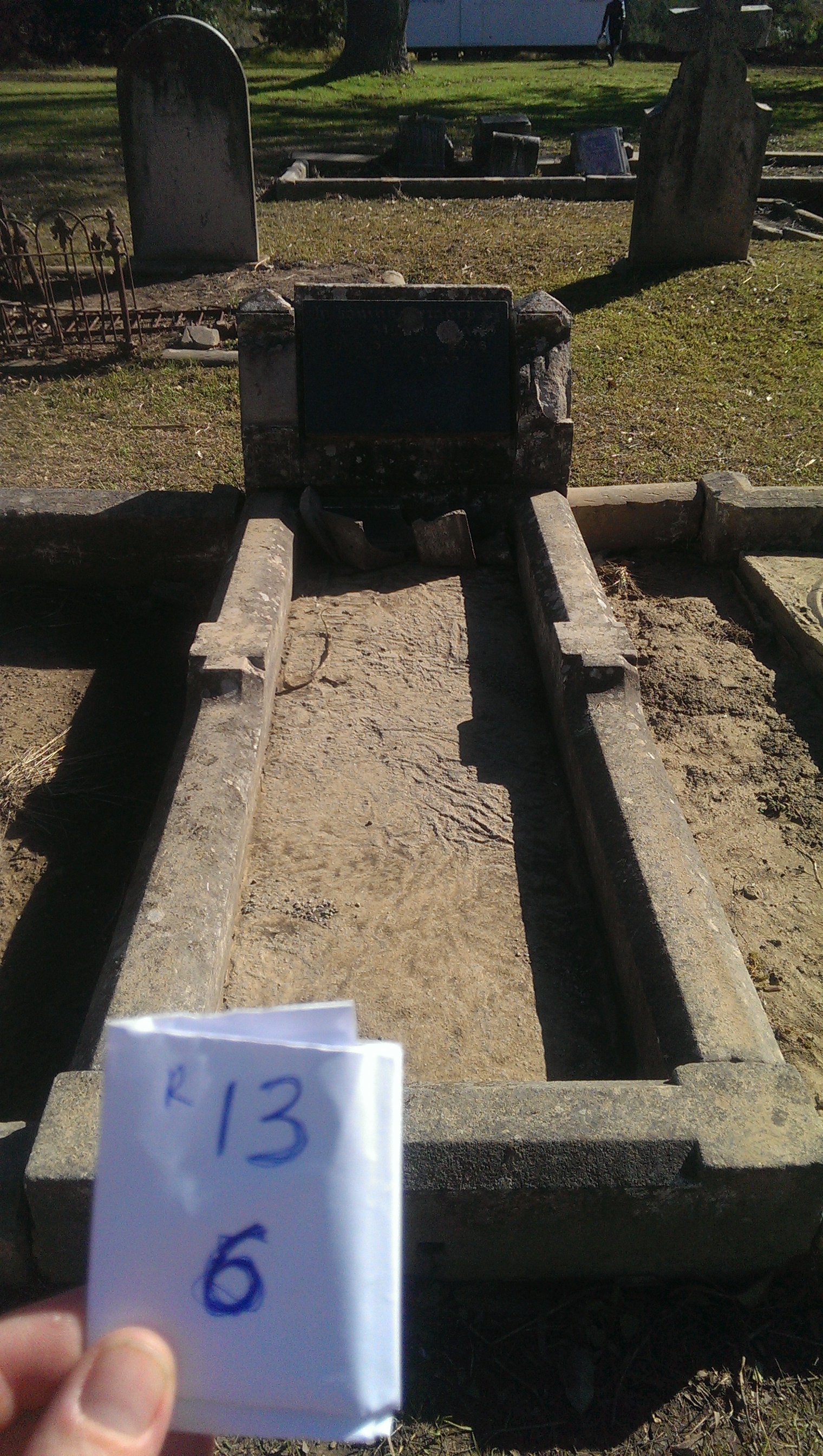
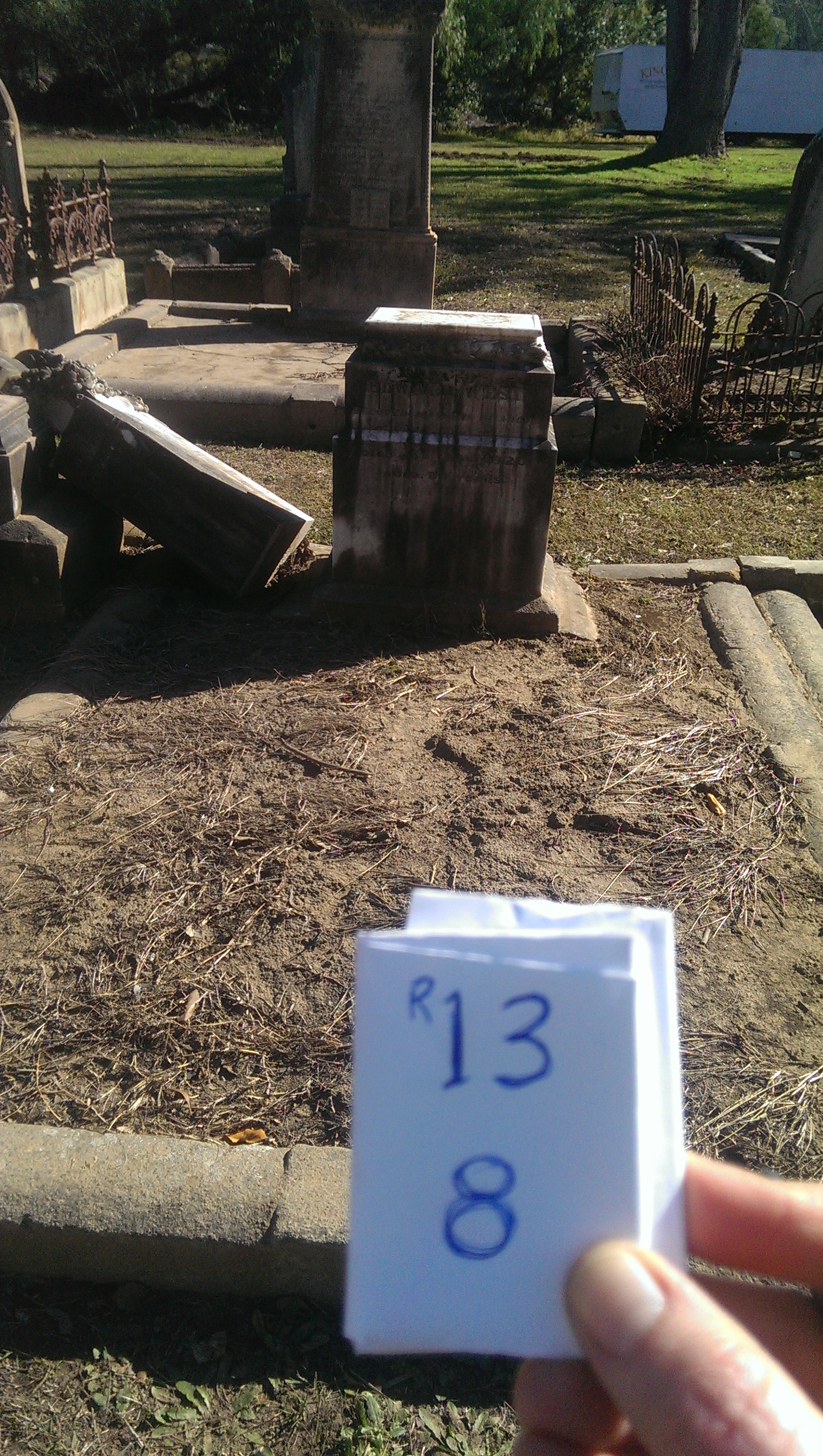
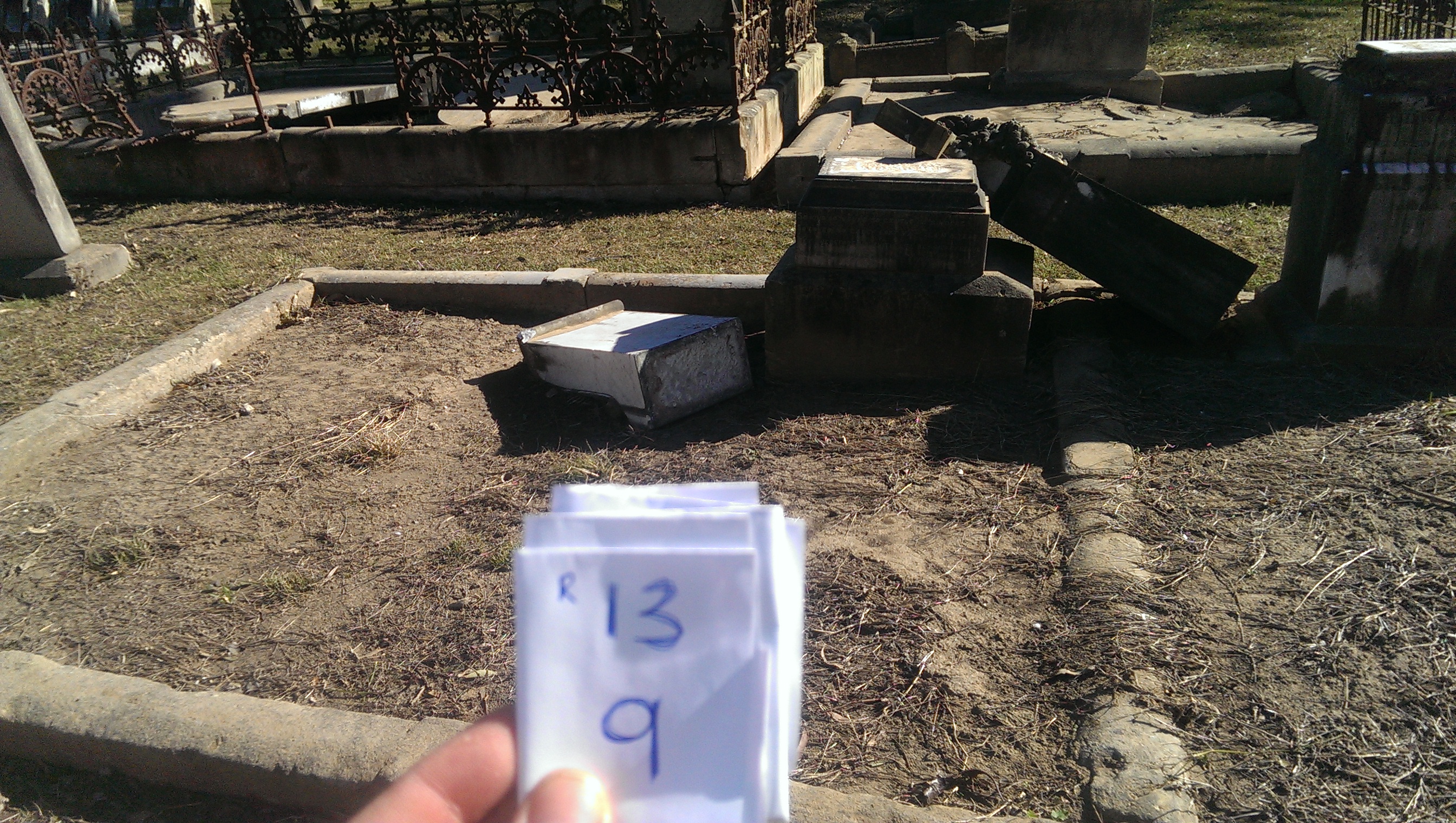
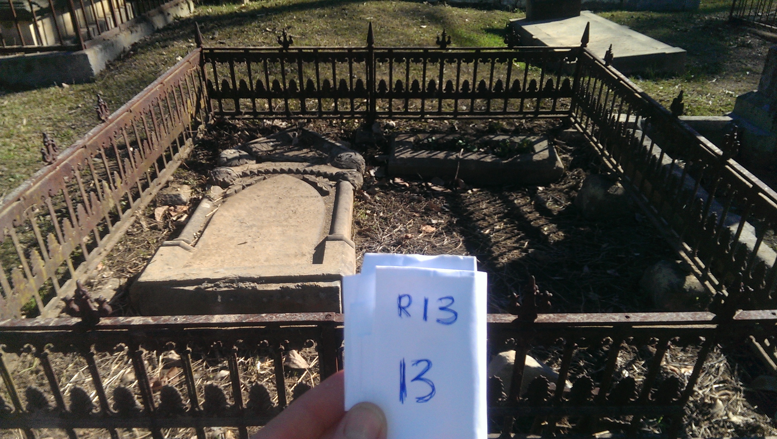
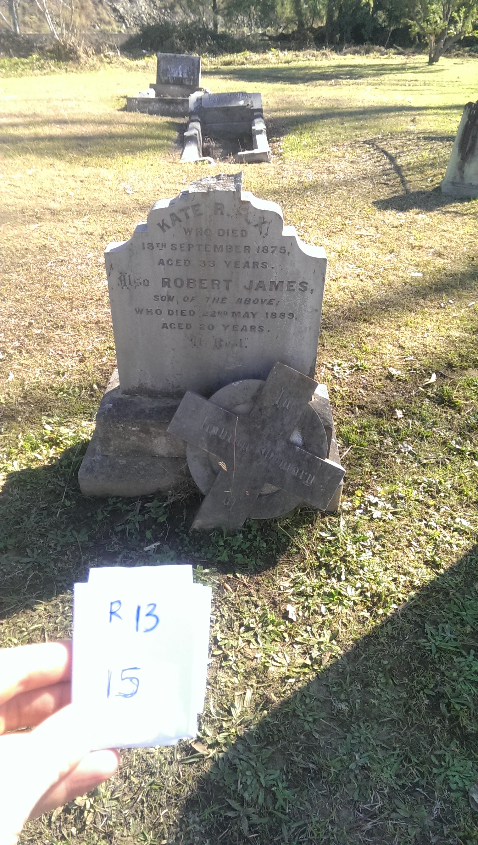
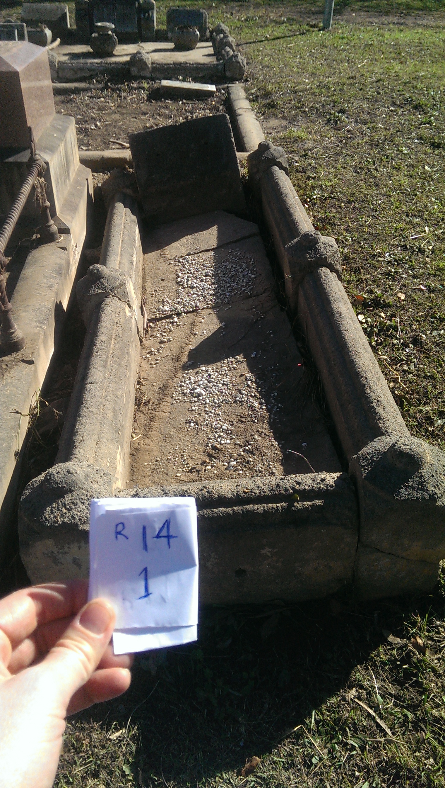
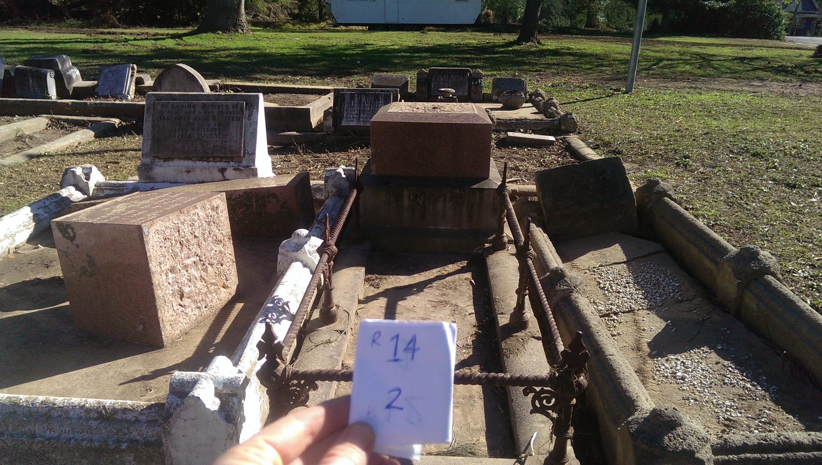
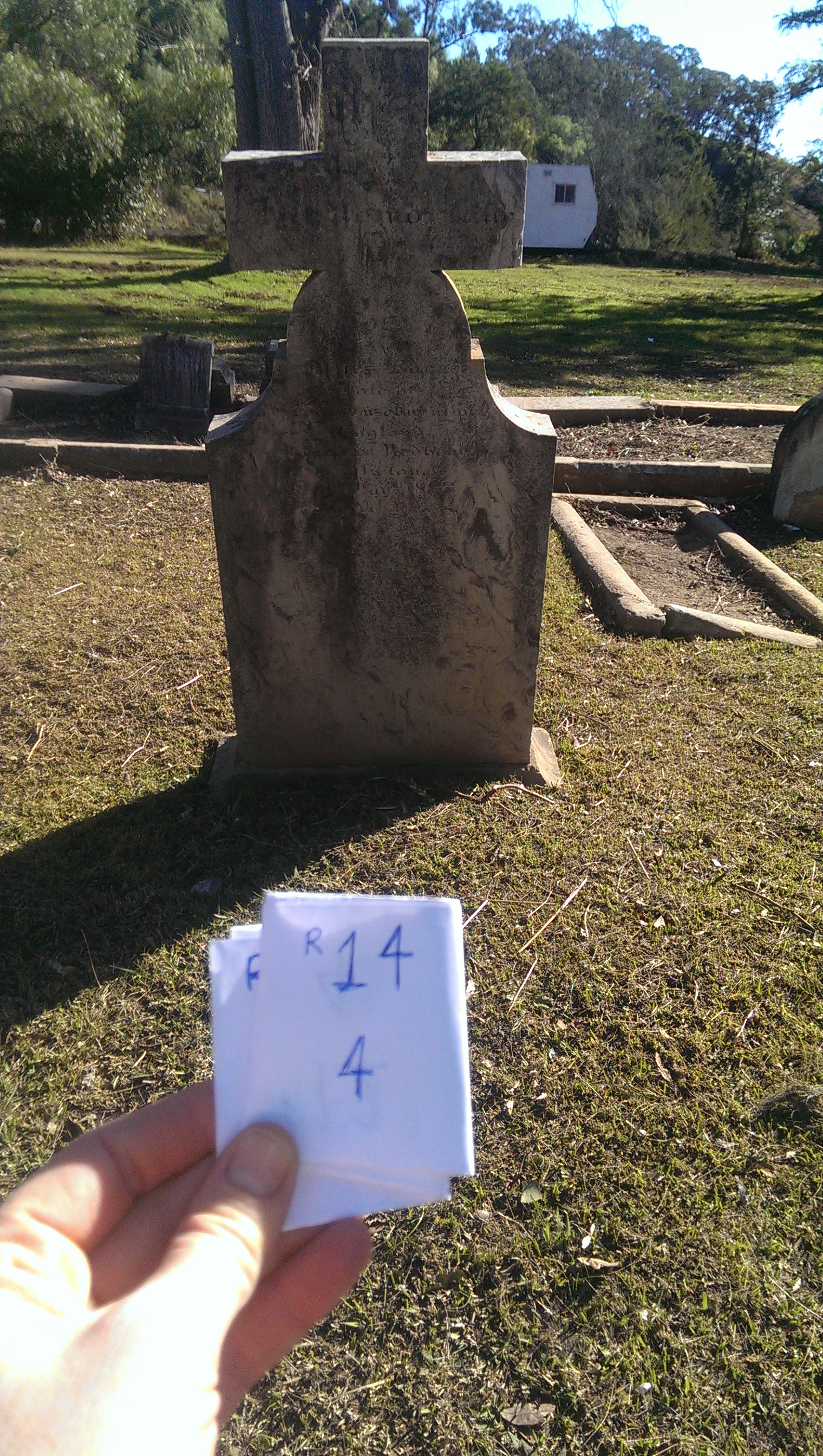
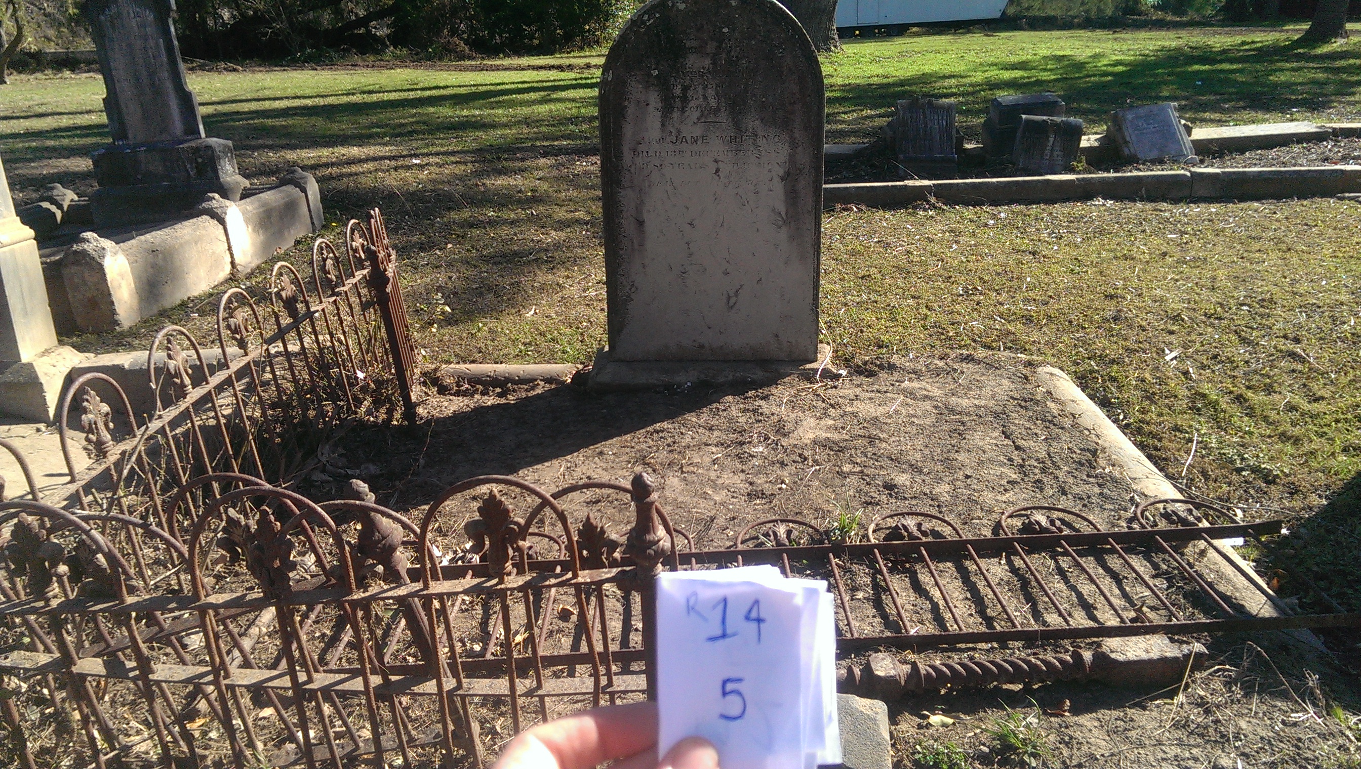
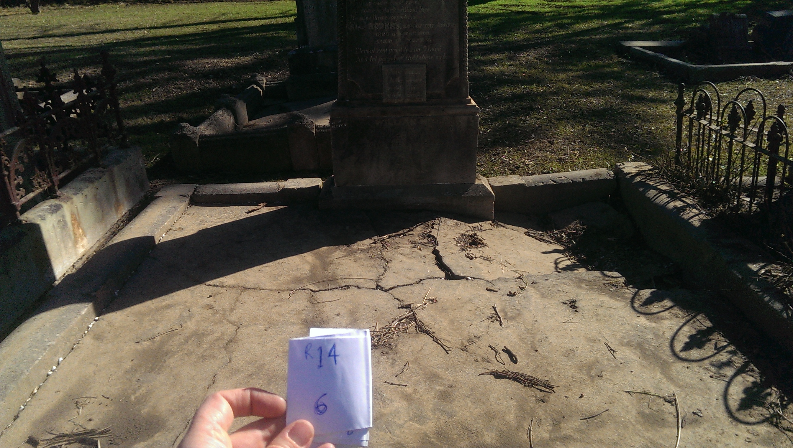
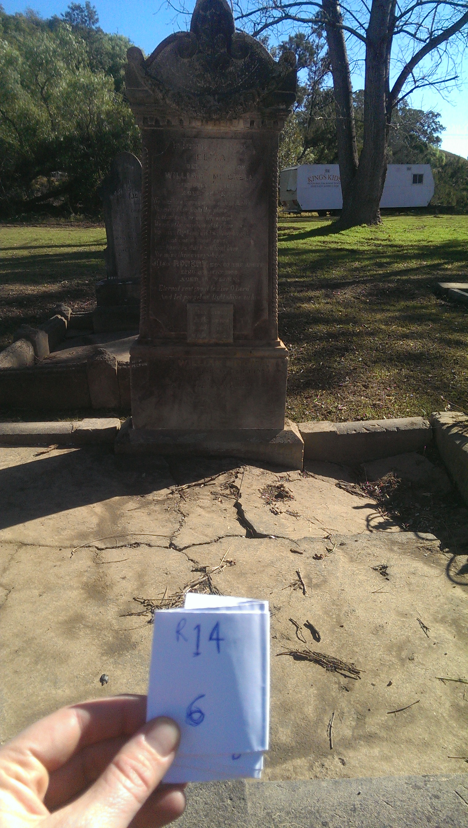
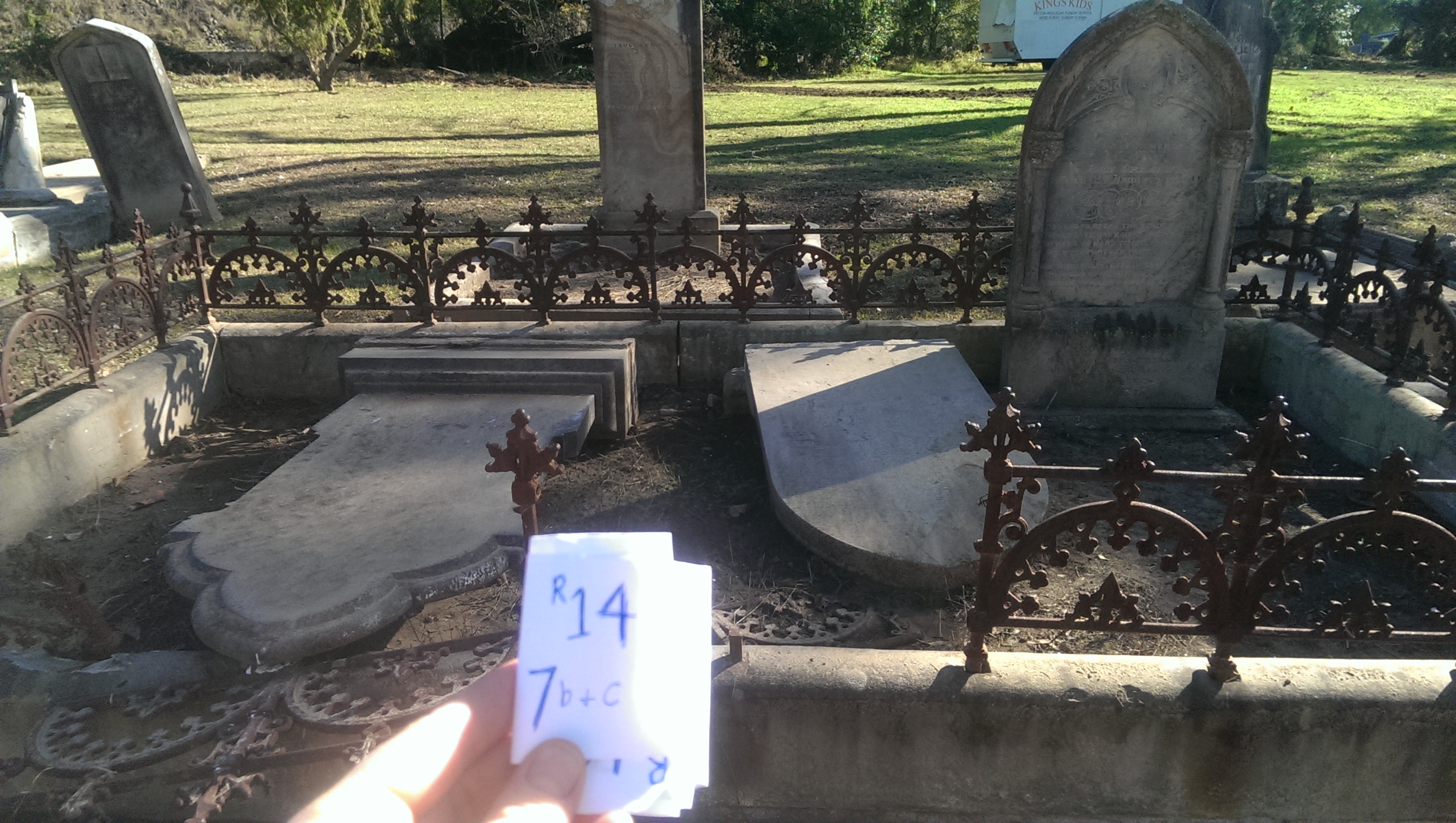
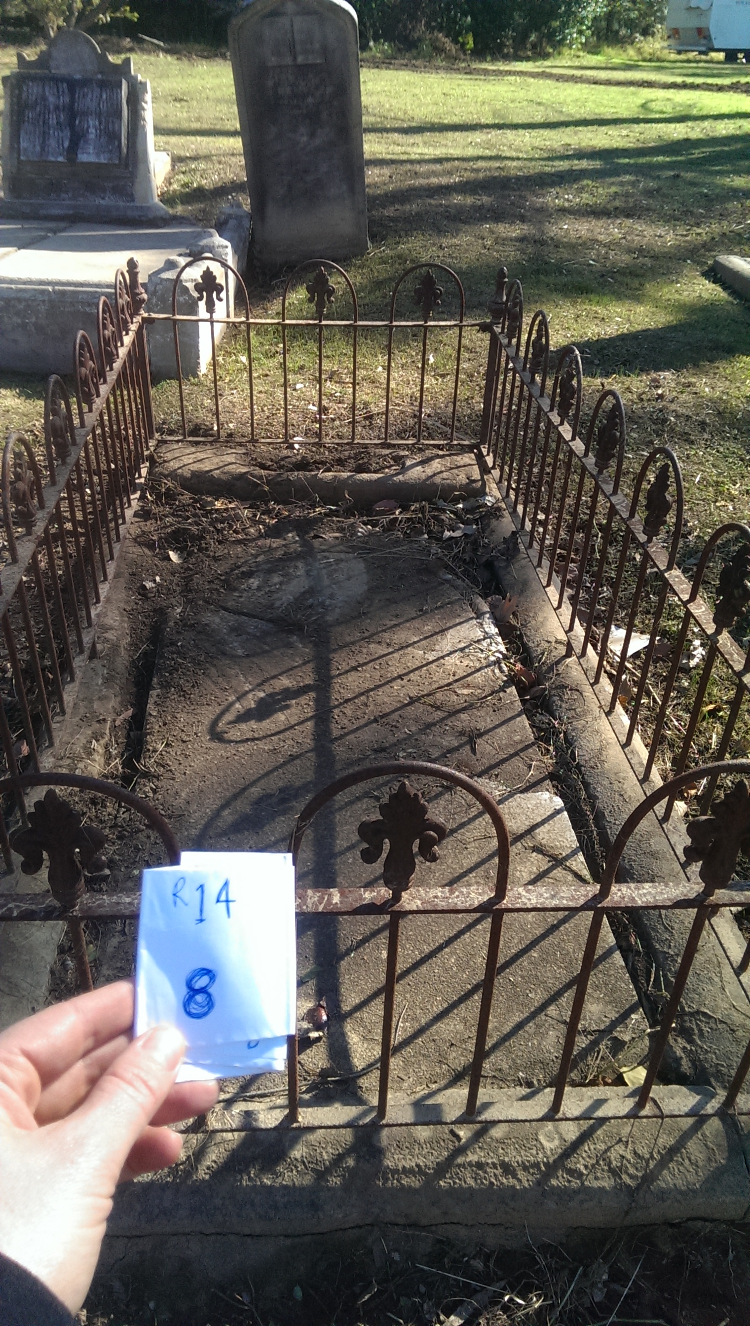
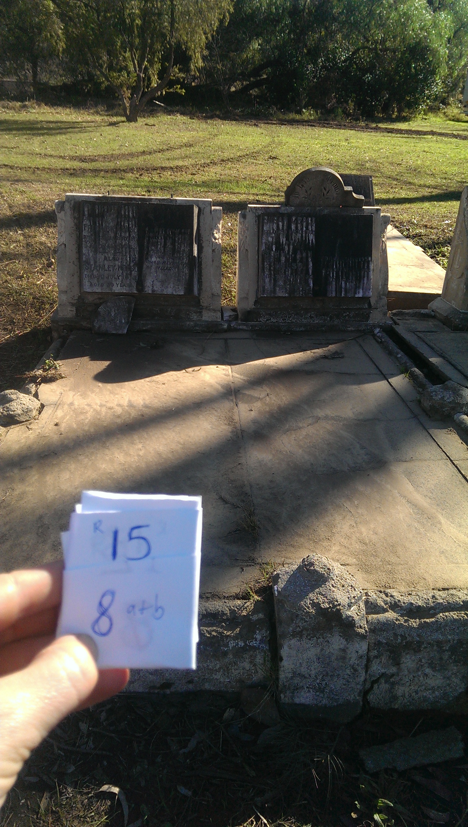
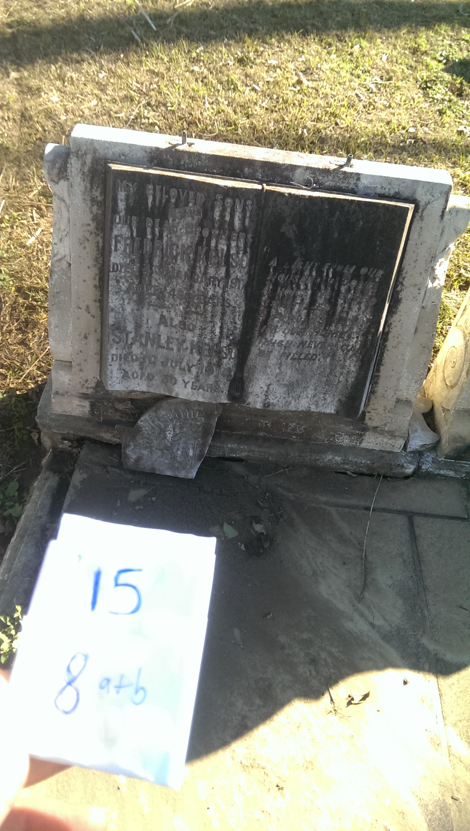
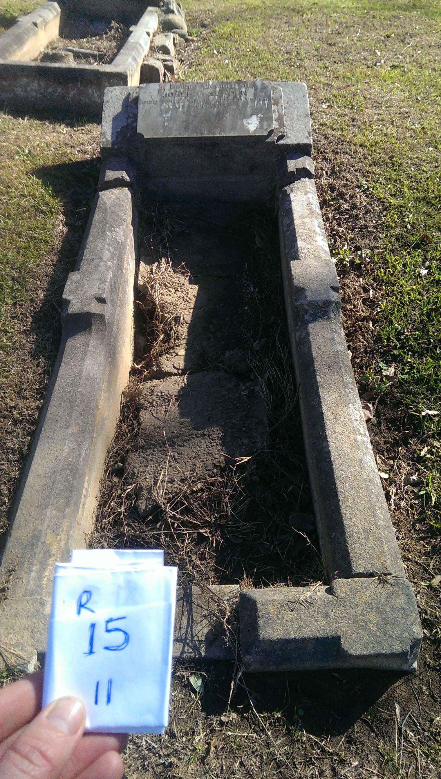
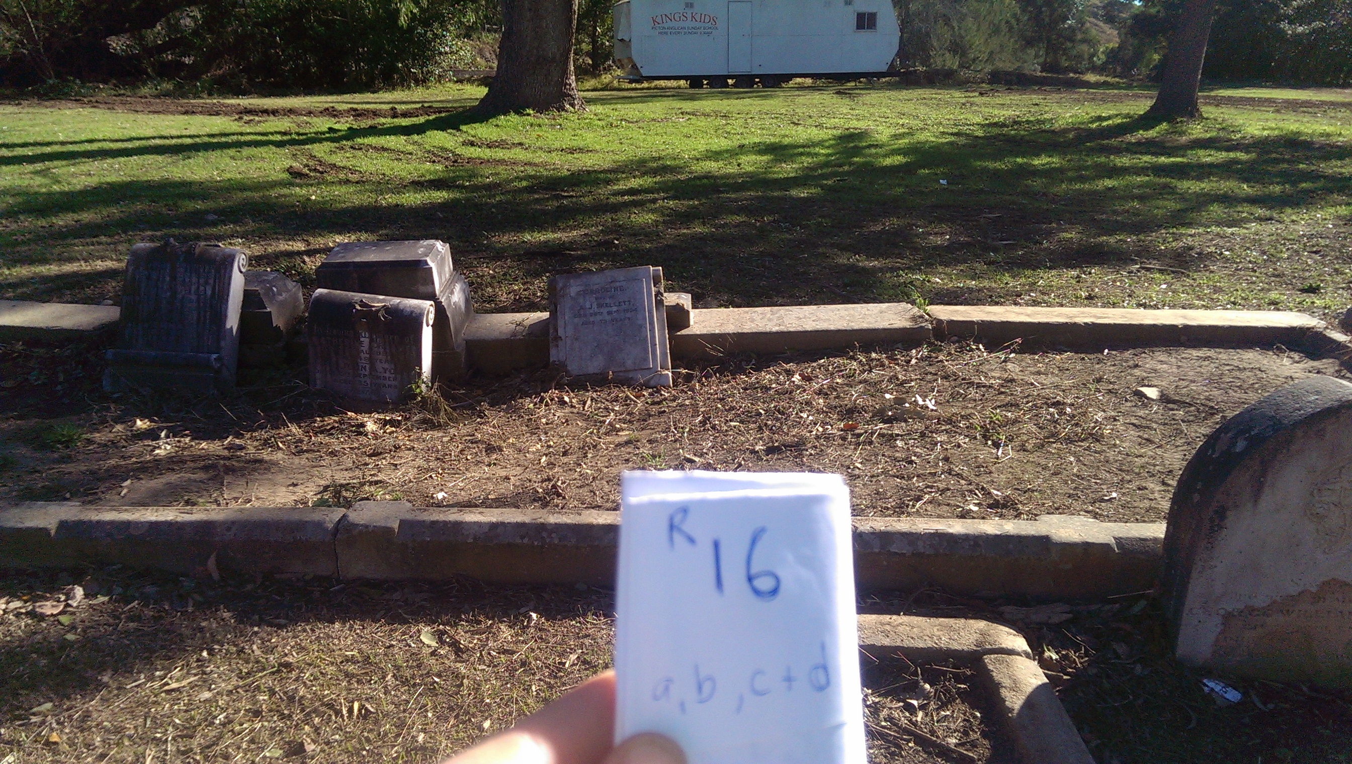
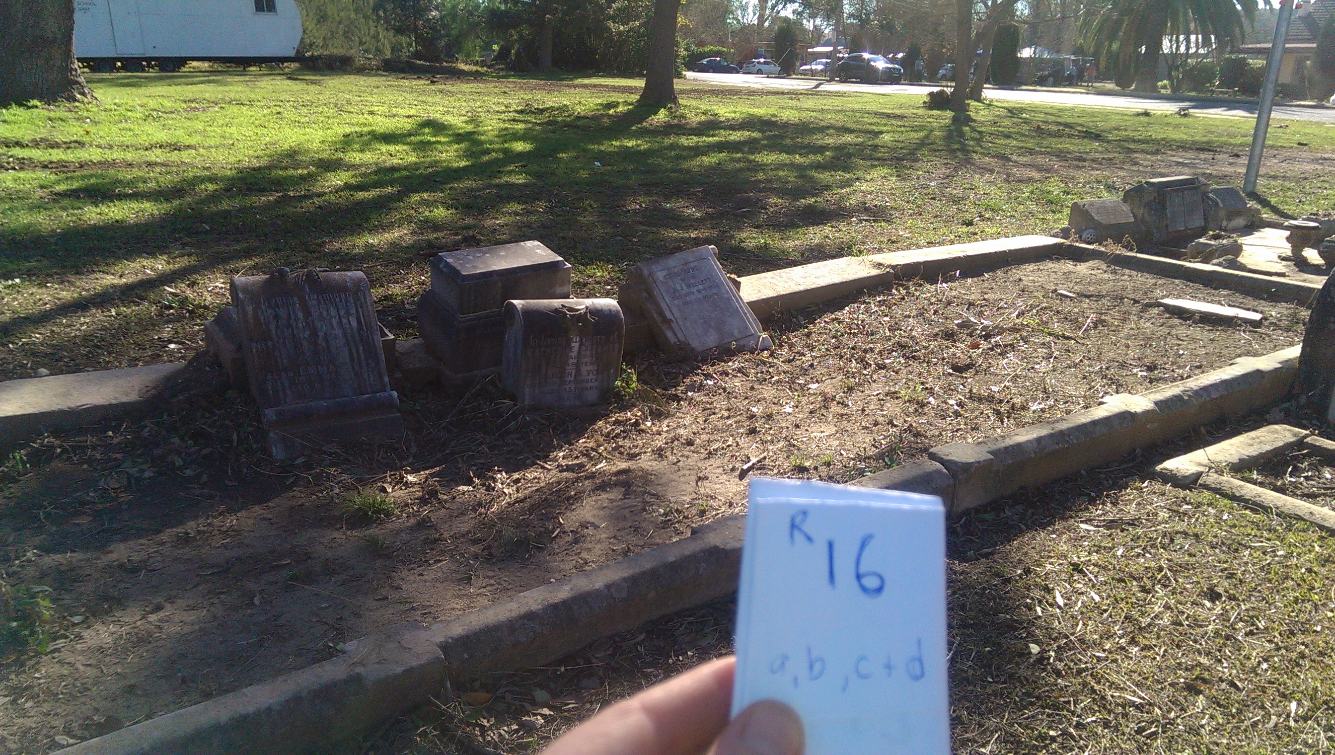
We have been struggling to work out how to identify which grave stones have been damaged in our cemetery, in order to attempt to contact surviving families. The best I think we can do at this stage is to present the following documents. One is a list of people buried at the cemetery compiled by the picton and district historical and family history society, the other is a hand-drawn map attempting to identify by red circles which graves have been damaged and what sort of damage. L = leaning, C = Cracked, PD = Previous Damage, F = Fence Damage, S = Sunk, and HSd = Head Stone Down. Names on this hand-drawn map are family names on the headstones. Many of the headstones have fallen ‘face-down’ so cannot be read, and many are so old as to be difficult to read anyway. We will be working to restore all the graves in time (some by volunteer effort, others by professional restorer), but wish to give notice to families about this work if possible to allow them to be involved if they wish.
Document 1a – Introduction to ‘Burial Records of St Mark’s Anglican Churchyard’: 2016_06_12_21_43_04
Document 1b – Plan and Burial listings of St Mark’s Anglican Churchyard: 2016_06_12_21_46_07
Document 2 – Hand Drawn Map of Cemetery noting damaged sites: 2016_06_13_11_58_35
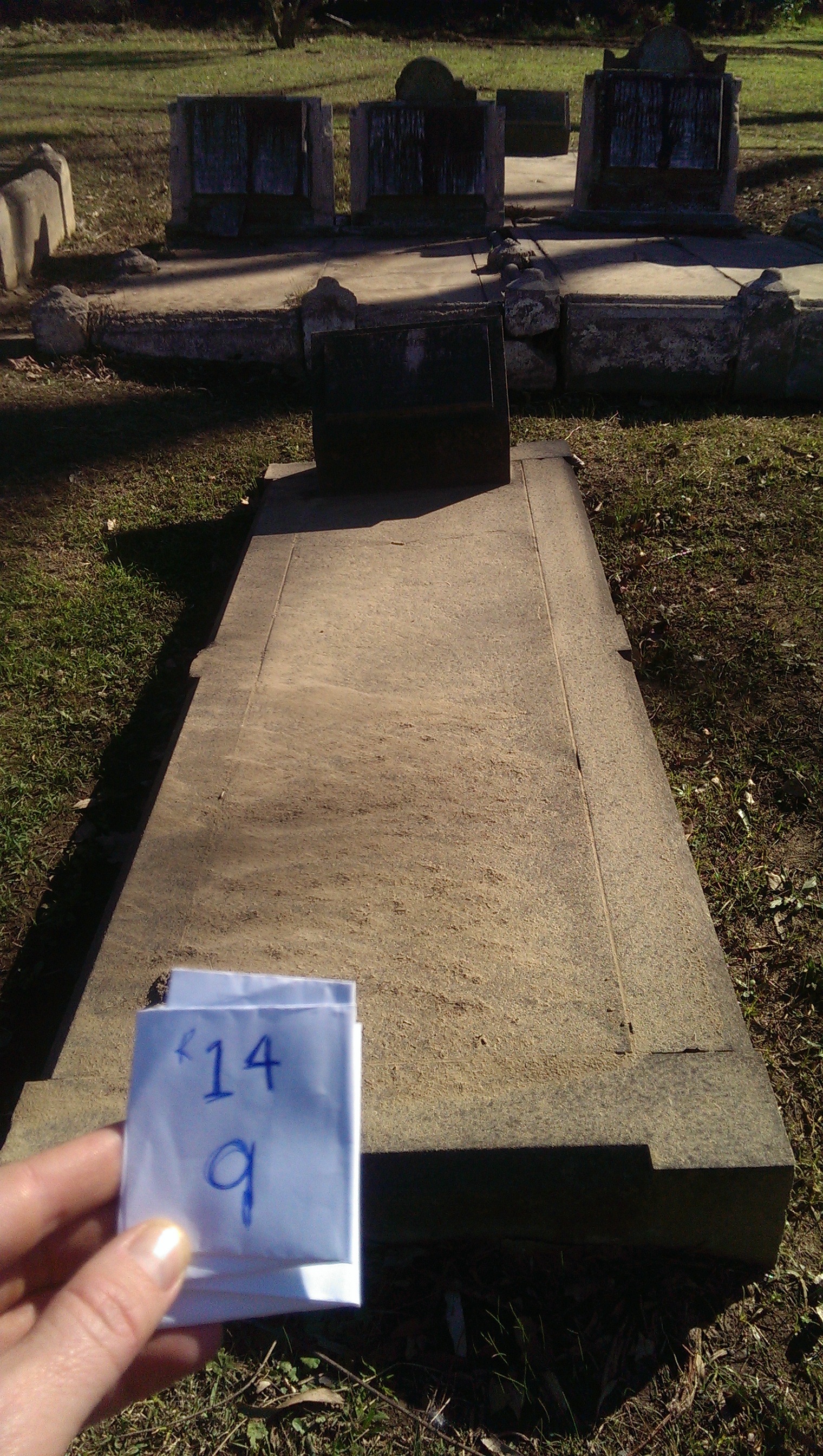
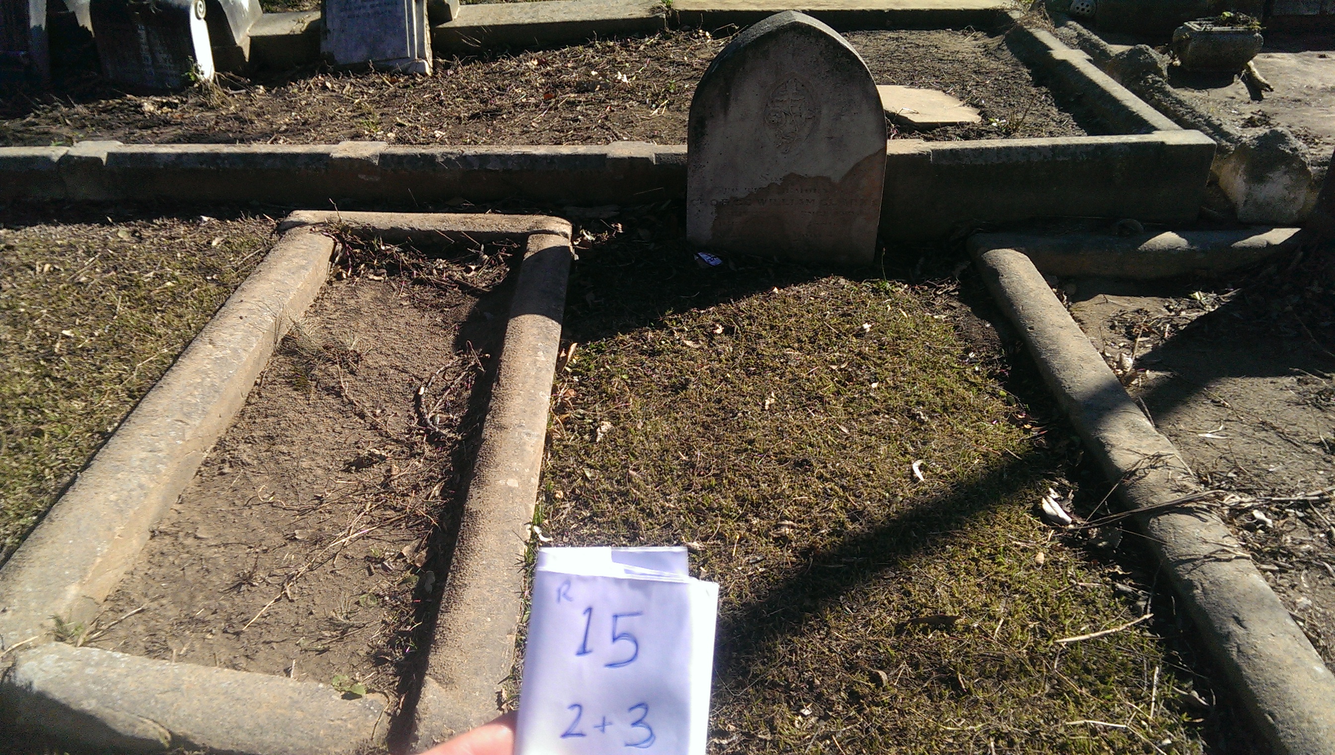
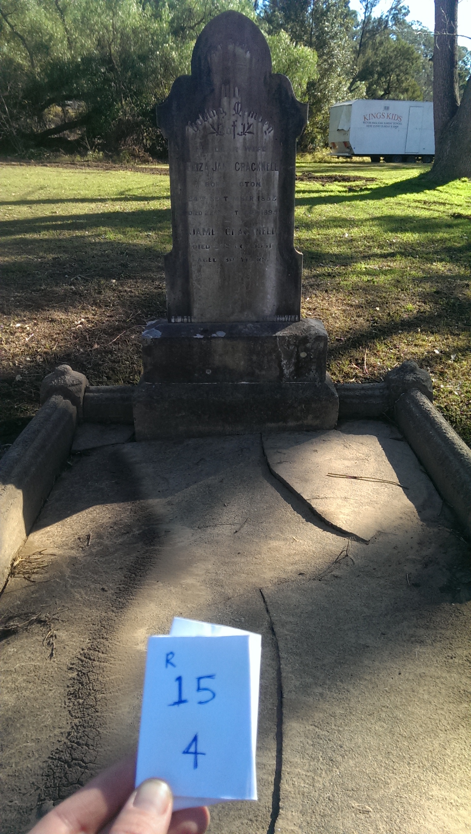
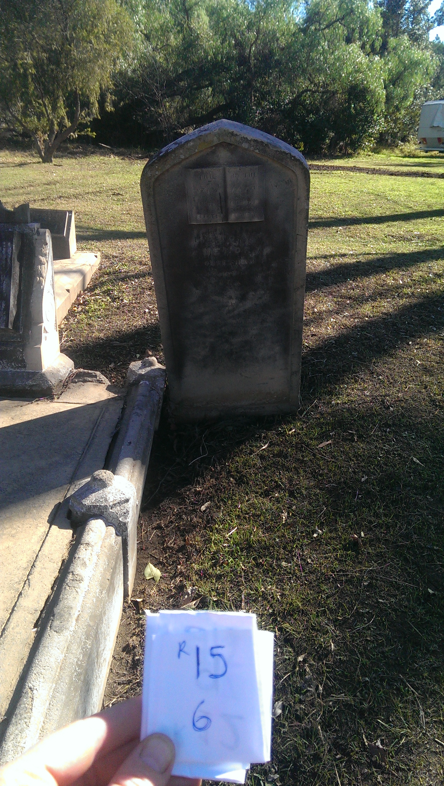
Below are photos of the damaged sites, with hand-held labels corresponding to the hand-drawn map. If you want to get in touch regarding the restoration of the cemetery or any particular grave site, please do so via our website ‘contact form’…